• Define Survey Objectives: Determine what you aim to achieve with the survey, such as detecting UXO, mapping archaeological sites, or locating buried infrastructure.
• Select the Appropriate Magnetometer: Choose a magnetometer based on your survey objectives, the type of data needed, and the operating environment. Options include the Geometrics MagArrow Mk2, MagNIMBUS, and SENSYS MagDrone R4.
• Plan the Survey Mission: Use flight planning software like UgCS to design the survey area and establish flight paths. Define the altitude, speed, and coverage required for the survey.
• Prepare the Equipment: Mount the magnetometer on the UAV, ensuring all components are securely attached. Set up any additional equipment needed, such as GPS units or altimeters.
• Calibrate the Magnetometer: Perform any necessary calibration procedures to ensure the magnetometer is providing accurate measurements. This may include zeroing the magnetometer or adjusting settings.
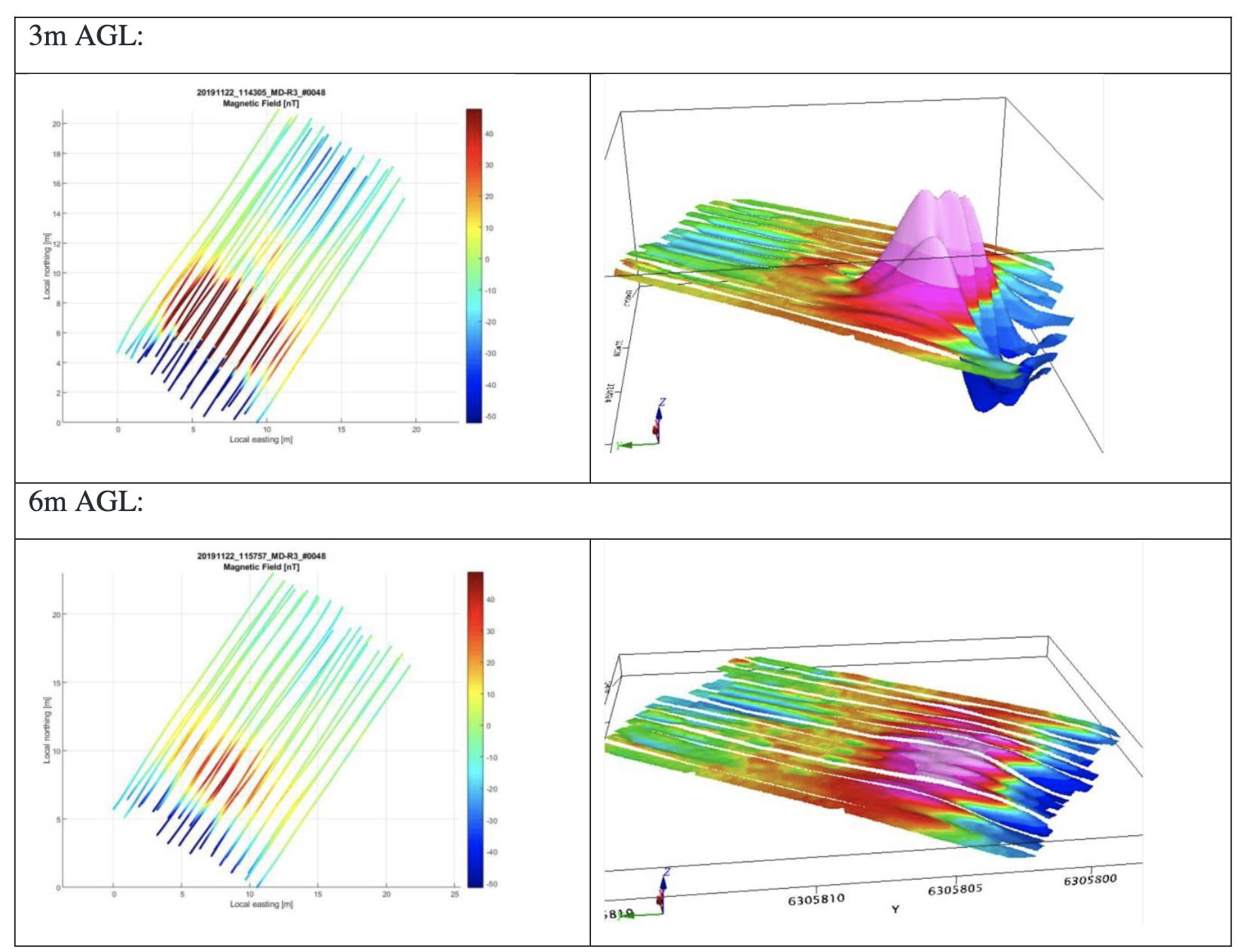
• Conduct the Survey: Launch the drone and execute the pre-planned flight path. The magnetometer will collect magnetic field data as the drone flies over the survey area.
• Monitor Data Collection: During the flight, monitor the data collection process to ensure the magnetometer is functioning correctly and capturing the required data.
• Post-Flight Data Analysis: Retrieve the collected data from the magnetometer and process it using data analysis software. Analyze the magnetic field measurements to identify anomalies and interpret the results.
• Review and Report Findings: Review the analyzed data to generate reports or maps detailing the survey findings. Share the results with stakeholders and make recommendations based on the data.
• Follow-Up Actions: Based on the survey results, plan and execute any necessary follow-up actions, such as further investigations, site remediation, or archaeological excavations.

