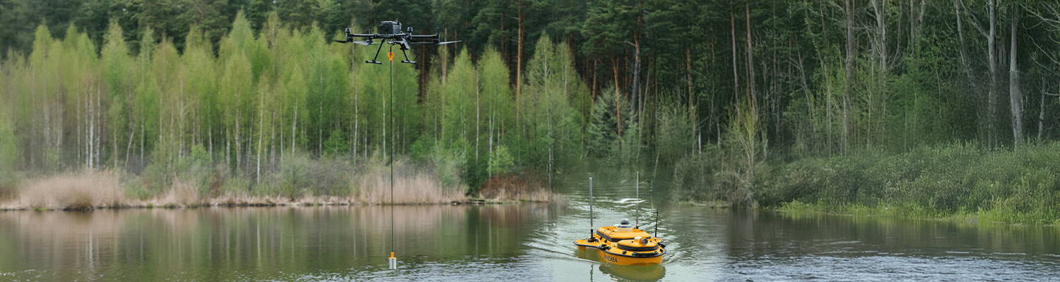
A bathymetric survey measures the depth and topography of the underwater surface, providing a detailed map of the waterbed. These surveys are essential for a variety of industries, including environmental monitoring, coastal engineering, underwater construction, and scientific research. Traditional methods often rely on echo sounders mounted on boats or ships, but drones now offer new possibilities for bathymetric data collection.