No Products in the Cart


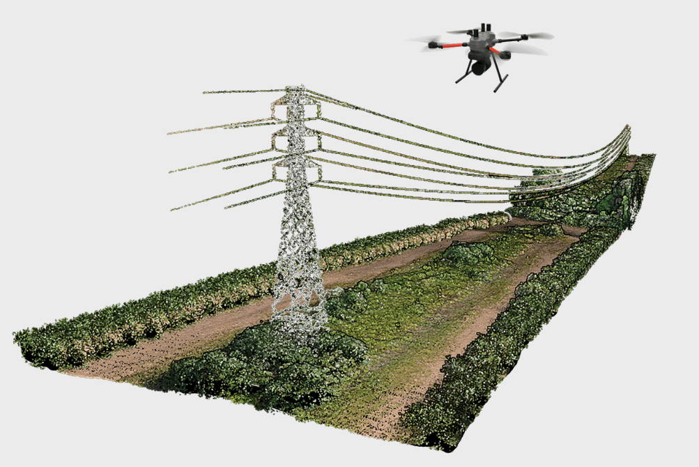
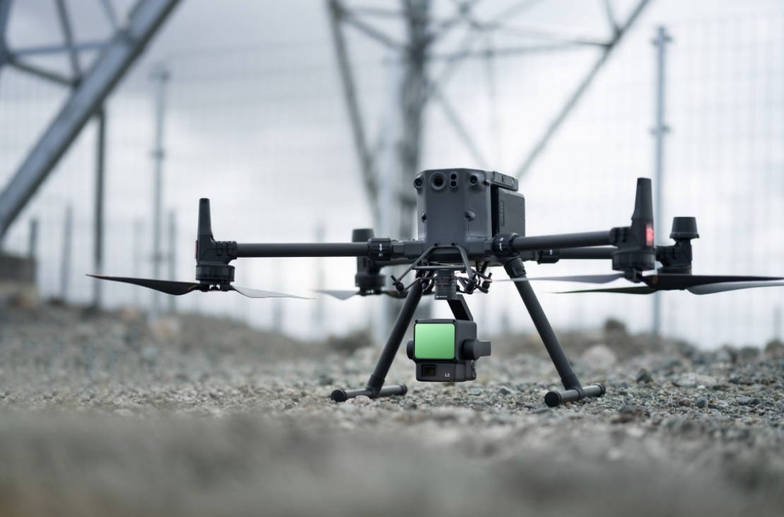
Transform Drone LiDAR and photogrammetry data into high-value geospatial deliverables.
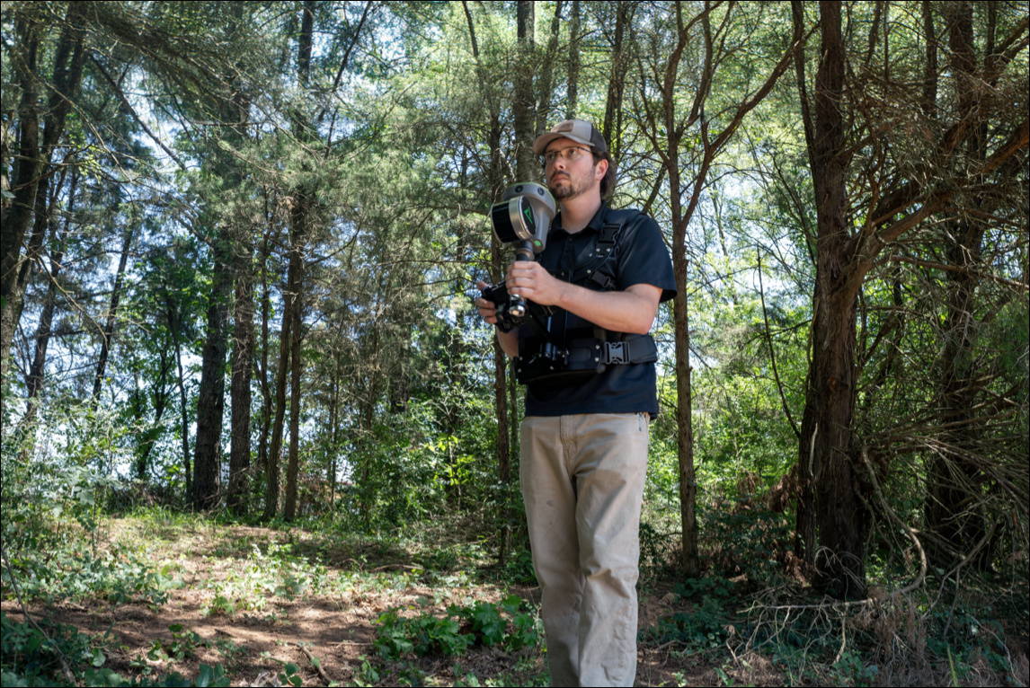
Process LiDAR, GNSS, and SLAM data from handheld sensors like the TrueView GO.
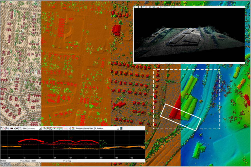
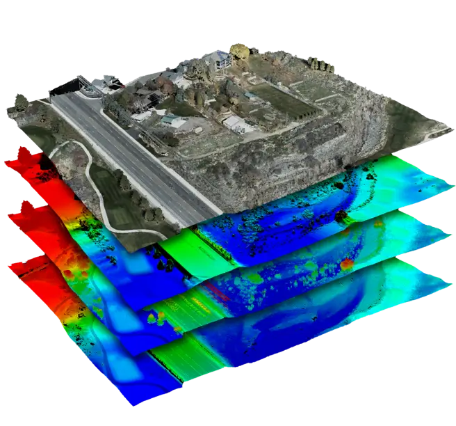
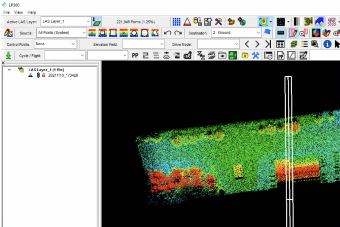
Turn massive LiDAR datasets into actionable deliverables.
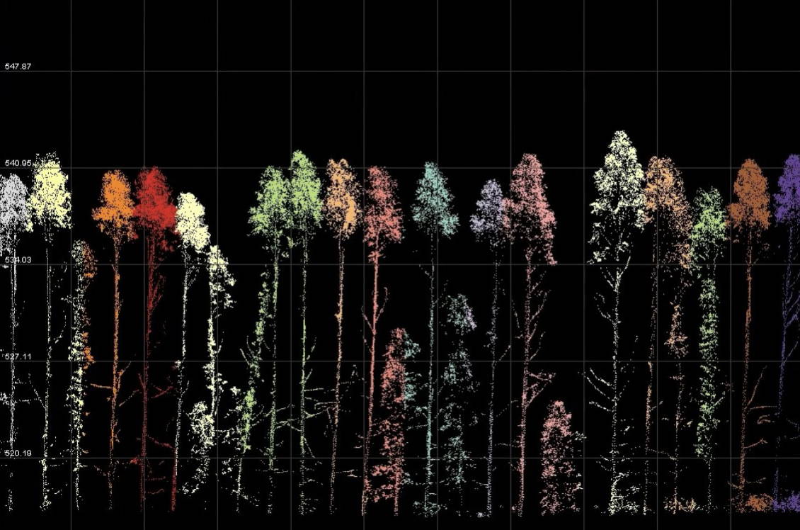
Whether collected from airborne or terrestrial LiDAR, 3D point clouds are now essential to modern mapping workflows. LP360 simplifies the extraction of valuable information and the creation of deliverables within an intuitive GIS environment
Includes the following updates: