+1 866 300 9012   contact@measur.ca
SHOPPING CART

No Products in the Cart
TOTAL:
$0.00

LP360

LiDAR & Photogrammetry 3D

Point Cloud Software

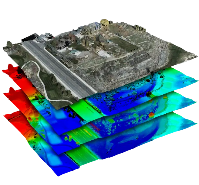
LP360 is a powerful standalone software application designed to handle large-scale geospatial data with ease and precision. Built for professionals who demand accuracy, scalability, and efficiency, LP360 allows users to seamlessly process LiDAR and photogrammetry-derived 3D point clouds within an intuitive GIS interface.

Intuitive Workflow
Multi-Flight Import & Processing
Powerful Visualization
Advanced Editing
GIS-Compatible
Full QA/QC Tools

LP360 Drone

Transform Drone LiDAR and photogrammetry data into high-value geospatial deliverables.
LP360 Land 

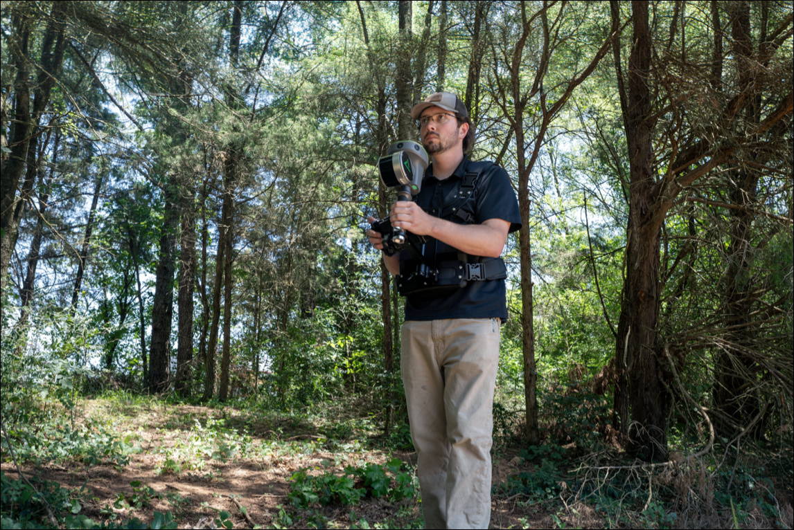
Process LiDAR, GNSS, and SLAM data from handheld sensors like the TrueView GO.
LP360 Geospatial

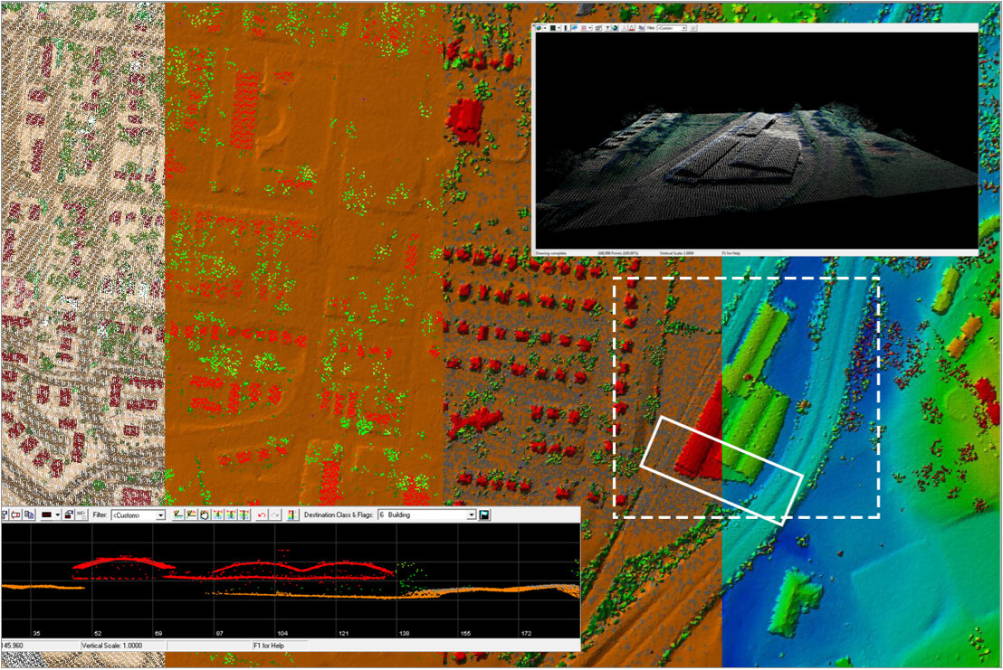
Turn massive LiDAR datasets into actionable deliverables.

All Data Sources. Any Size. One Tool.

Whether collected from airborne or terrestrial LiDAR, 3D point clouds are now essential to modern mapping workflows. LP360 simplifies the extraction of valuable information and the creation of deliverables within an intuitive GIS environment
Cloud Collaborate

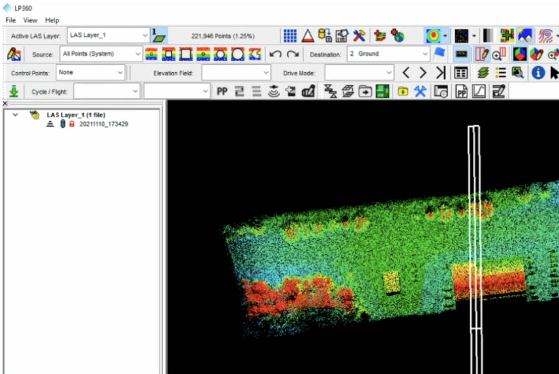
LP360 Cloud Collaborate enhances your drone data workflows with secure cloud storage, real-time streaming, and intelligent search tools for seamless team collaboration.

Cloud Storage: Start with 200GB of secure, scalable cloud space accessible via LP360.
Real-Time Streaming: Stream and share only the needed data without downloading entire files.
• Automatic Ground Classification: Includes 2 automated ground classifications per month.
PowerSearch: Locate geospatial files instantly using metadata filters and map-based queries.
Secure Hosting: Data is encrypted and hosted with top-tier AWS security infrastructure in Ohio.

Maximize DJI L1 & L2 Data with LP360 Drone

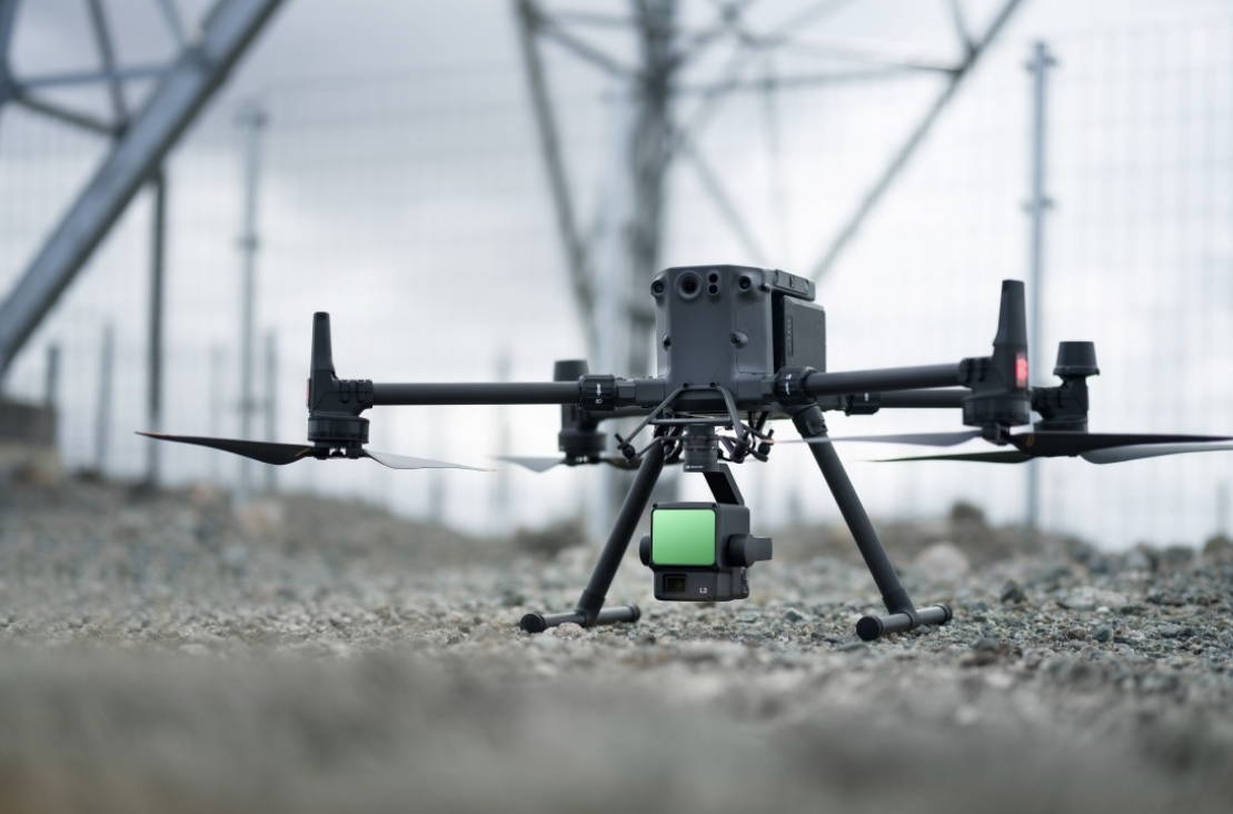
LP360 Drone fully supports DJI L1 and L2 sensors, offering robust tools for data processing and analysis:

• Manage coordinate systems, including geoids, local site adjustments, and datum/epoch changes
• Utilize synchronized 3D viewing and the Image Explorer for efficient inspection
• Perform QA/QC with automatic ground control detection and 3D correction
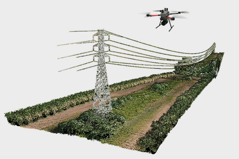
• Access advanced features like smoothing, outlier removal, automatic classification, breaklines, DTM/contours, CAD exports, volume analysis, and powerline tools
• Customize workflows with the intuitive new GUI
• Expand capabilities with the optional LP360 Cloud extension for storing, searching, sharing, and streaming data

GUI for Enhanced Workflow and Customization

The Graphical User Interface (GUI) offers a more intuitive and streamlined experience for data processing and deliverable generation within a GIS environment.

• Organized ribbon tabs simplify tool access:
• Project Tab: Central hub for managing all aspects of your project.
• Sensor Tab: Combines TV Workflow and Utilities for a smoother process from cycle import to point cloud and orthomosaic creation.
• Map Tab + Toolbar: Access essential map features directly above the main map for improved usability.
Cloud Tab: Quickly access LP360 Cloud.
Support Tab: Easily reach GeoCue Customer Support.
• Custom Tab: Build personalized ribbons and toolbars to suit your workflow.
• Quick Access Toolbar: Pin your most-used features for instant access.

LP360 Geospatial Software Capabilities

LP360 Geospatial software offers powerful tools for geospatial data analysis, including the ability to extract cross-sections and contours from point clouds, with options for alignment, clipping, and dynamic or file-based contour generation. It supports automatic feature extraction for elements like building footprints and powerlines, streamlining workflows such as planning or vegetation analysis.

Additionally, it provides robust breakline digitization tools for terrain constraints and water features, allowing for precise 3D modeling through Z-value assignments.

The latest version of LP360 2024.1

Includes the following updates:

  • TV540 Support
  • Wingtra Support/New Post Process Tool
  • Support for DJI L2
  • DJI PPK Utility
  • Trajectory Processing via Job Manager
  • Single Cycle View Mode
  • Auto Checkout of Licenses as Needed
  • Surface Precision (SDASN)
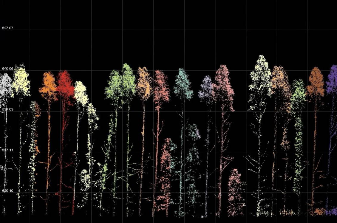
  • Tree Segmentation (ITS) (EXP)
  • LP360 Cloud Processing
  • LP360 Cloud Raster Support
  • LP360 Cloud Raster Streaming
  • Export Wizard Batch Processing via Job
  • Manager
  • Translation/Rotation of Rasters

Compatible Drones & Sensors

LP360 is built to handle data from virtually any platform, UAV, or mobile systems. As long as your data is in standard LAS format (or LAS + trajectory), LP360 provides an extensive set of tools to transform raw data into high-quality deliverables. It provides robust breakline digitization tools for terrain constraints and water features, allowing for precise 3D modelling through Z-value assignments.

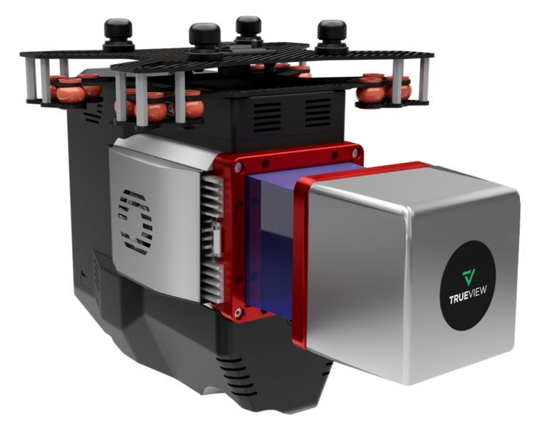
TrueView LiDAR Systems

Sale Off
Zenmuse L2

LP360 supports a wide range of industry-leading sensor platforms, including:


CHCNAV, DJI, LiDARUSA, Microdrones, Phoenix LiDAR, Quantum Systems, RESEPI, Riegl, Rock Robotic, TrueView, Wingtra, and YellowScan.

Get in touch
Give us a call or drop by anytime, we will answer all enquiries within 24 hours on business days. We will be happy to answer your questions.

Get in Touch

Name:

Phone:

Company:

Email:

Message:

BACK TO TOP